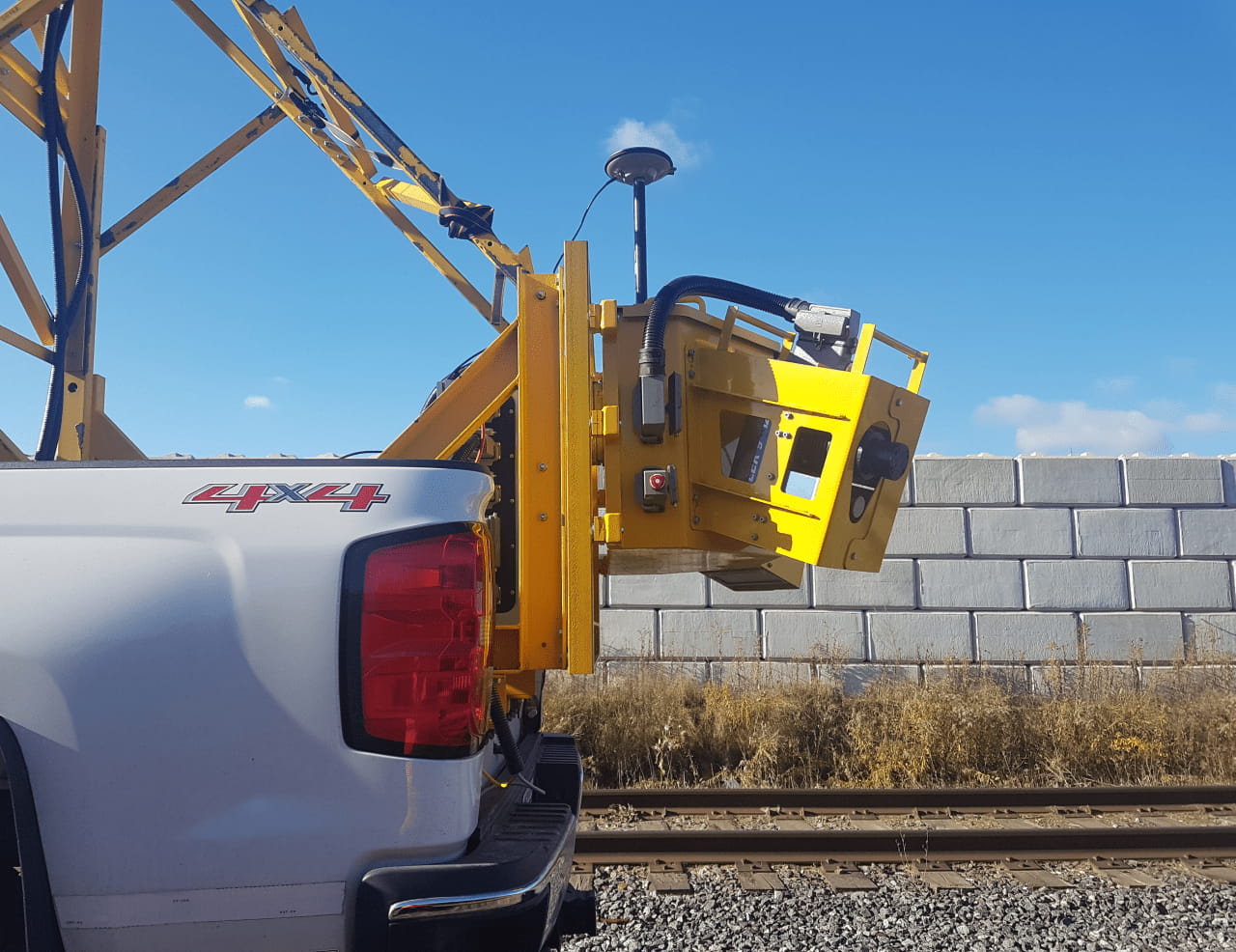
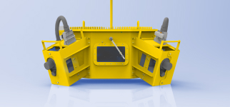
Each unit contains two high-speed laser scanners, an inertial measurement device, and an imaging system.
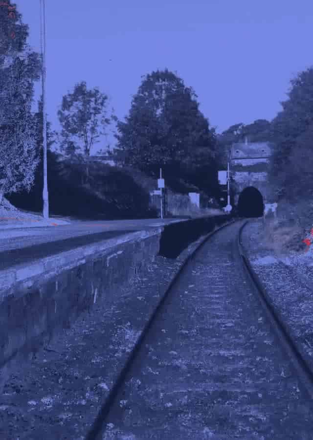
The vehicle mounted geomatic hardware is synchronised to capture high density spatial point cloud data, removing the need for manual surveying of the network.
Used in the UK, Ireland, Canada, and Australia.
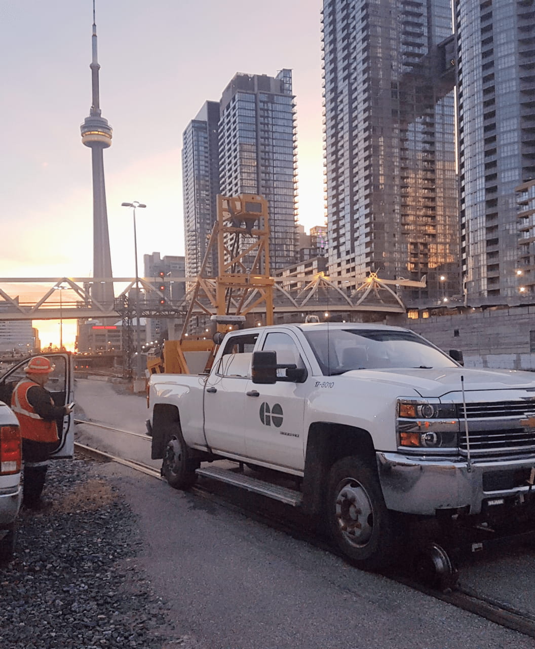
Case study:
MetroLinx, Toronto
Track surveys enhance decision making for new work planning and the asset lifecycle, improving safety and reducing cost and carbon emissions
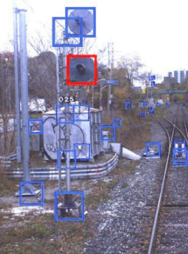
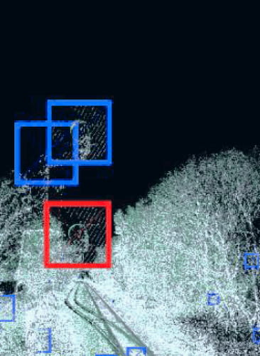
We tag signals, bridges, signs, transponders resulting in a database of over 60,000 assets.
Our data enables significant network enhancements, improving passenger experience with faster journey times, and increasing service frequencies and reliability.
Mobile Measurement for:
Surveys
Clearance & Gauging
Signal Sighting
Driver Route Learning
Vegetation/Fencing/ Line-side assets
Compatible with industry-standard CAD tools.
A single pass is enough
2 million points a second
survey grade accuracy
360° scan combined with positioning data
Survey once, and use the data over the asset lifespan. Reducing boots on ballast and creating a benchmark to track changes.